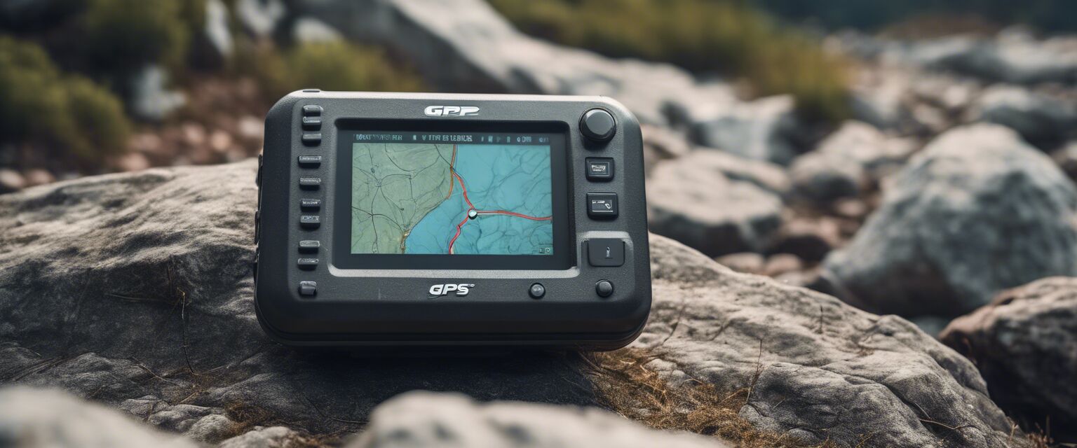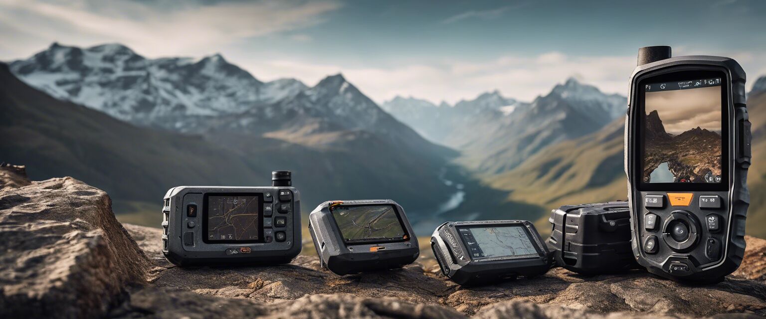
GPS Devices with Topographic Maps
Key Takeaways
- Topographic maps provide crucial elevation and terrain details for hikers.
- GPS devices with mapping capabilities enhance navigation accuracy.
- Consider durability, battery life, and additional features when selecting a GPS device.
- Investing in a quality GPS can significantly improve your hiking experience.
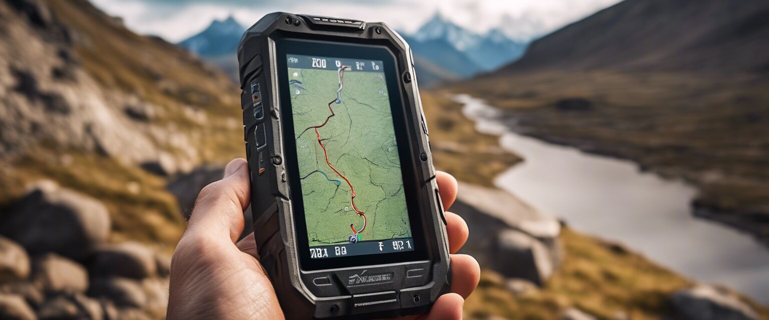
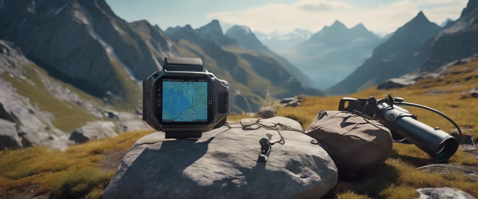
Navigating through wilderness terrains can be challenging without the right technology. GPS devices equipped with topographic maps offer hikers a reliable solution for understanding the landscape and improving navigation. In this article, we will explore various GPS devices featuring topographic maps, their benefits, and how to choose the right one for your hiking adventures.
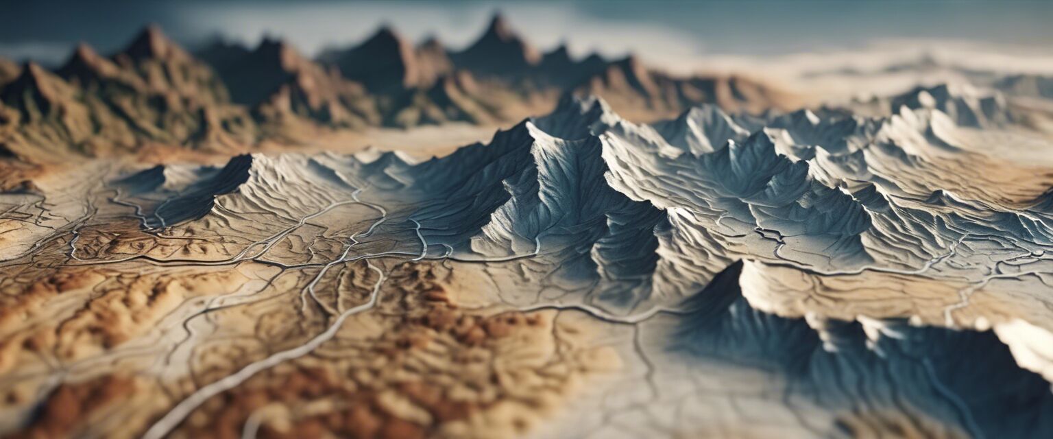
Understanding Topographic Maps
Topographic maps are specialized maps that provide detailed information about the terrain of an area. They display elevation, landforms, and other physical features. Hereâs a breakdown of what makes topographic maps valuable for hikers:
- Elevation Details: Helps in understanding the steepness and difficulty of trails.
- Landforms: Identifies hills, valleys, and bodies of water.
- Terrain Navigation: Aids in route planning and decision-making on the trail.
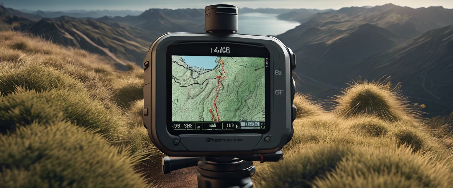
Benefits of GPS Devices with Topographic Maps
Using GPS devices that feature topographic maps comes with numerous advantages:
Pros
- Enhanced navigation with real-time positioning.
- Ability to plan routes based on elevation and terrain.
- Access to offline maps for remote areas.
- Integration with other outdoor activities, such as geocaching.
Cons
- Can be expensive compared to basic GPS units.
- Requires regular updates for the best accuracy.
- Battery life may be a concern on long hikes.
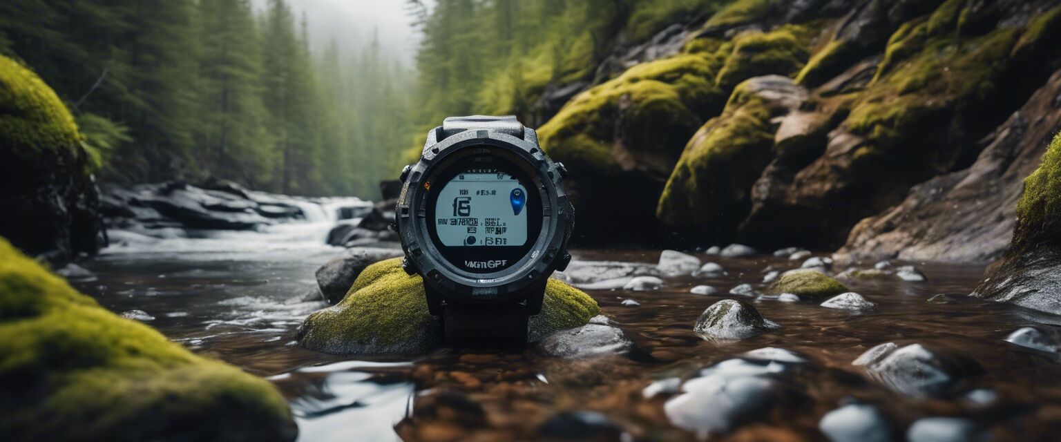
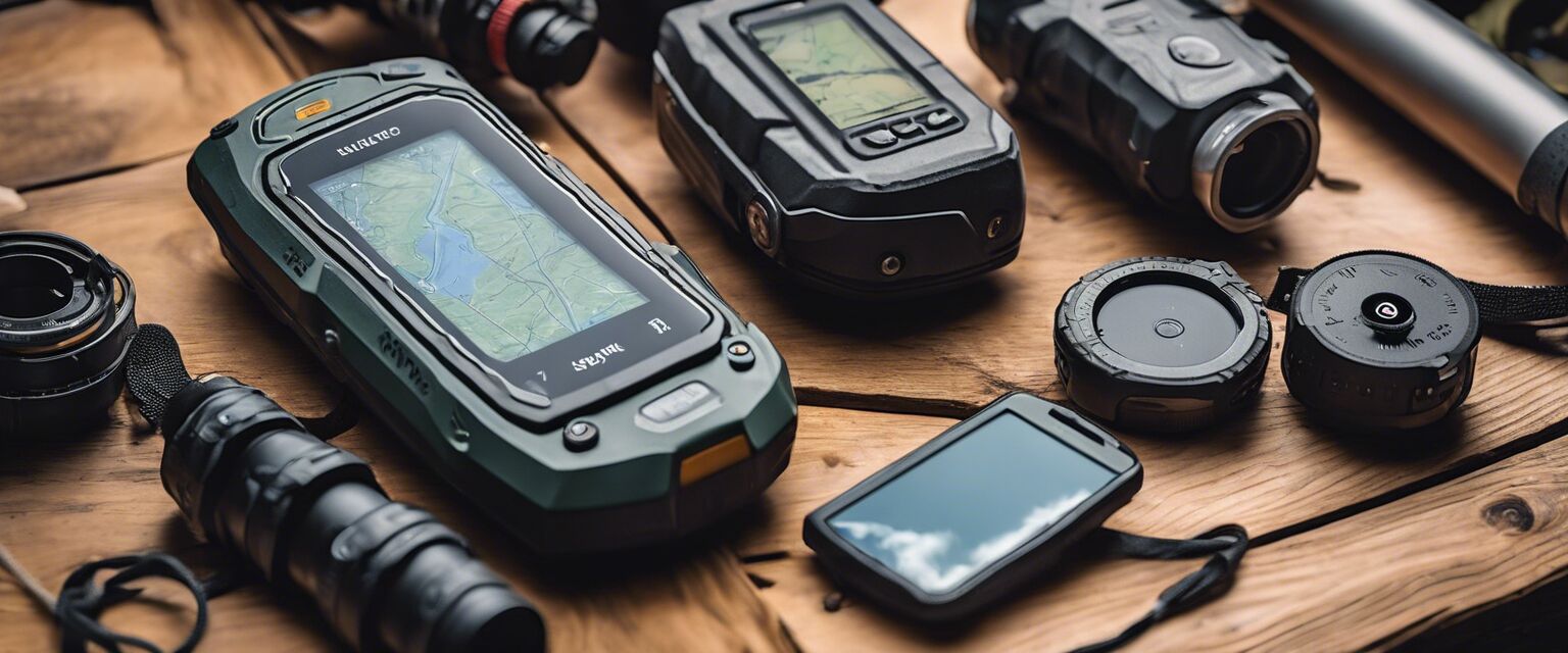
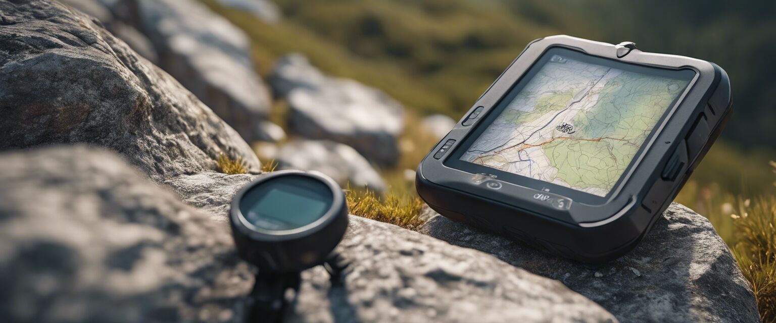
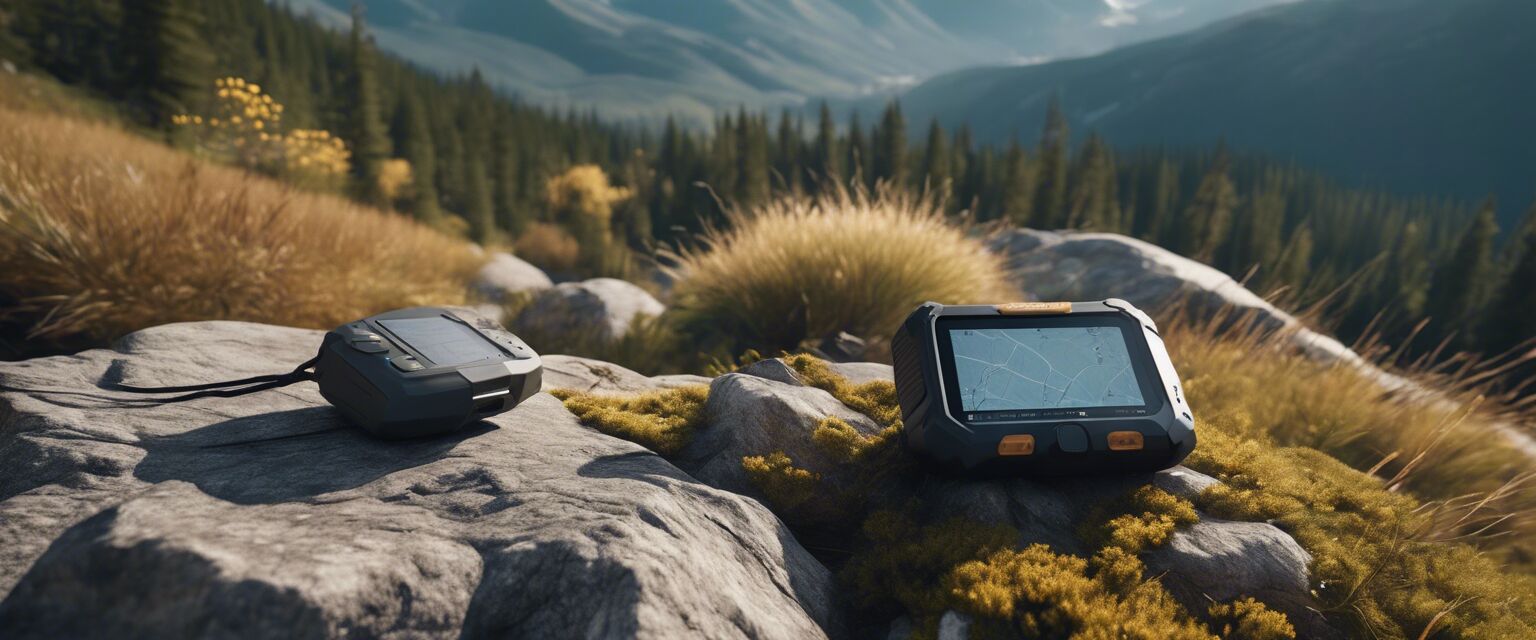
Features to Look for in GPS Devices
Choosing the right GPS device can be overwhelming due to the variety of options available. Here are some features you should consider:
| Feature | Description | Importance |
|---|---|---|
| Screen Size | A larger screen can display more detailed maps. | High |
| Battery Life | Longer battery life is essential for extended trips. | High |
| Water Resistance | Durability against weather conditions is crucial. | Medium |
| Map Updates | Regular updates ensure accuracy in navigation. | High |
| Weight | Lightweight devices are preferable for hiking. | Medium |
Comparison of Popular GPS Devices
| Device | Screen Size | Battery Life | Water Resistance | Topographic Maps |
|---|---|---|---|---|
| Device A | 4.3 inches | 20 hours | IPX7 | Yes |
| Device B | 5 inches | 30 hours | IPX8 | Yes |
| Device C | 3.5 inches | 15 hours | IPX6 | No |
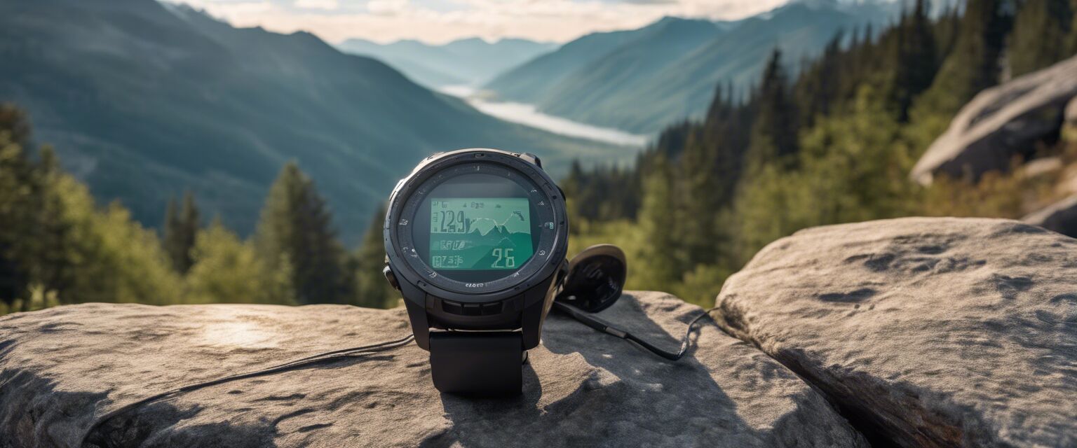
How to Use GPS Devices Effectively
To make the most out of your GPS device, consider the following tips:
Tips for Beginners
- Familiarize yourself with the device before your hike.
- Download maps in advance, especially for remote areas.
- Regularly check for software updates to improve performance.
- Practice using the navigation features in a safe environment.
Conclusion
Investing in a GPS device equipped with topographic maps can significantly enhance your hiking experience. By understanding the terrain, planning your routes, and utilizing the features of your GPS device effectively, you can explore the great outdoors with confidence. Remember to consider the essential features and benefits when selecting a device that suits your hiking needs.
Related Products
For more information and reviews on GPS devices and accessories, check out our other categories:
- Emergency Beacons
- GPS Accessories
- Handheld GPS Units
- Mapping Software
- Portable Communication Devices
Image Gallery